
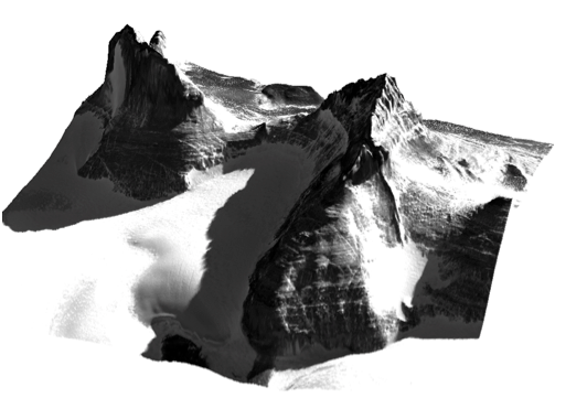
The Byrd Polar & Climate Research Center, Ohio State Univ., in collaboration with the PGC, is soliciting the international Antarctic scientific community for available Ground Control Points (GCPs) from the Antarctic continent and sub-Antarctic islands. GCPs will be used for registration and validation for the Reference Elevation Model of Antarctica (REMA) project supported by the U.S. National Science Foundation Division of Polar Programs. More information about REMA can be found here.
GCPs can be GPS-surveyed objects or features, such as buildings, weather stations or outcrops, or transects surveyed with kinematic GPS or LiDAR. They must have a clearly defined uncertainty. We are interested in GCPs on the ice sheet surface collected in the past five years and on exposed rock surface from anytime.
Contributors of useful GPC’s will receive prioritized elevation model processing of their region of interest at enhanced (2m) resolution, as well as proper acknowledgement in REMA documentation.
Those with potentially useful GCP’s, or who may collect GCP’s during future field activities, are encouraged to contact REMA PI Ian Howat at howat.4@osu.edu.