
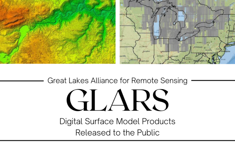
The PGC is excited to share with our partners from the Great Lake Alliance for Remote Sensing (GLARS) and SharedGeo the public release of high-resolution digital surface models (DSMs) across the Great Lakes Basin. Now available for use by researchers, conservationists, natural resource managers and the public for free. The elevation dataset includes timestamped strips and seamless mosaics covering 85% of the basin at a 2-meter resolution, derived from Maxar stereo imagery.
It is the first public domain release of non-polar DSM products covering an expansive area and demonstrates potential for other units of government to use DSMs for modeling, monitoring, and managing environments without the high cost of LiDAR products.
To learn more about the GLARS project, data specifics and downloads, visit the links below.