
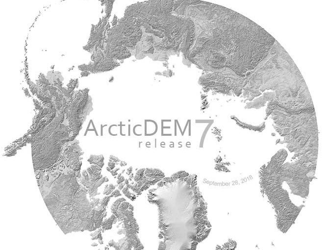
We did it.
Seventh release adds, repeats, and covers the entire geographic regions of the ArcticDEM production domain: all land area north of 60°N latitude including all territory of Greenland, Alaska, and Russia’s Kamchatka Peninsula.
RELEASE 7: UPDATES
The ArcticDEM team is pleased to announce Release 7. This completes our commitment made at the beginning of the US chairmanship of the Arctic Council to produce a high-resolution, time-dependent, publicly available Digital Elevation Model of the Arctic in three years.
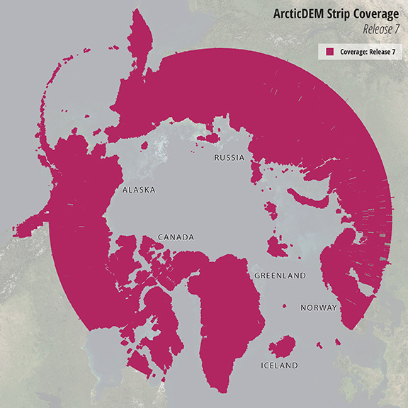
The entire ArcticDEM domain was re-mosaicked to 2-meter resolution and covers just over 10% of the planet. There are now over 260,000 total 2-meter time-stamped DEMs that amount to nearly 160 million km2 and 200 TB. The Arctic is now covered an average of 8 times by 2-meter elevation data. All strips underwent significant improvements in filtering to preserve coastlines, fill holes, and better enhance densely-forested areas. The mosaic is now available at 5 times higher resolution than previous releases. Reduced-resolution versions of the mosaic are also available at 10, 32, 100, 500 and 1000 meters.
EXPLORE DATA
ArcticDEM data are available for online browsing and download. Visit ArcticDEM.org to connect to the ArcticDEM Explorer or to download bulk data. Esri’s online web mapping application provides tools to measure elevation, change and distances; to identify source imagery and DEMs; to view hillshade, slope and aspect; to download data directly and more.
GALLERY
ABOUT ARCTICDEM
ArcticDEM is an NGA-NSF public-private initiative to produce a high-resolution, high quality, digital surface model (DSM) of the Arctic using optical stereo imagery, high-performance computing, and open source photogrammetry software.
The project began with a release of data over Alaska in September 2016 and continued to other regions over the past two years. The objective of the ArcticDEM initiative was to create a comprehensive elevation model of the Arctic within the two-year term of the U.S. Chairmanship of the Arctic Council, which began in April 2015.
For more information regarding the project overview, methodology, web services, and download options please visit the PGC website (https://www.pgc.umn.edu/data/arcticdem). User Documentation can be found here.
The ArcticDEM Team would like to thank the National Geospatial-Intelligence Agency, the National Science Foundation, the Arctic Council, the White House Office of Science and Technology Policy, Arctic SDI, Fabien Laurier, Ambassador Mark Brzezinski, Admiral Robert Papp, Ambassador Kåre Aas, Tracy Fuller and the many, many people who contributed to this project.
STAY UPDATED
Click here to subscribe to occasional ArcticDEM updates via email.
Read the original PGC Newsletter post here.