
Everything – it’s all there.
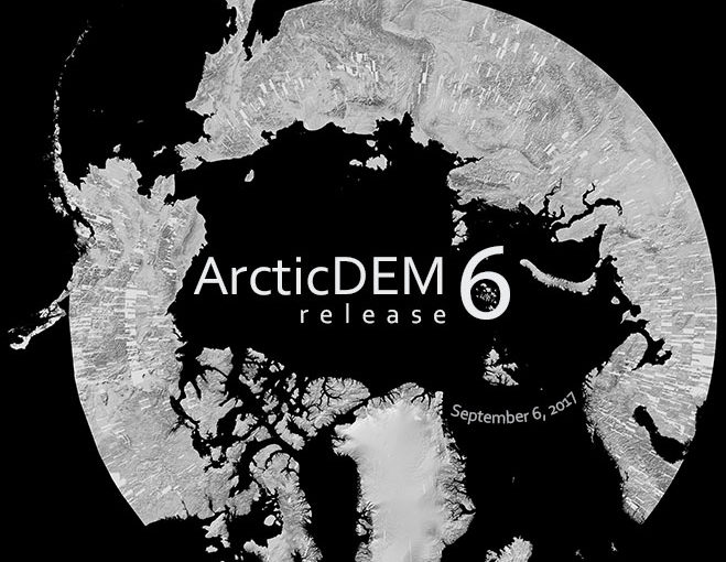
Sixth release adds completes the outstanding geographic regions of the ArcticDEM production domain: the Russian Far Eastern Federal Districts, European Russia, and Scandinavia north of 60°N latitude.
RELEASE 6: UPDATES
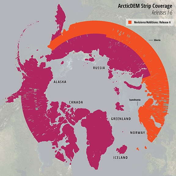
The ArcticDEM team is proud to announce high resolution terrain data is now available for 97.4% of the Arctic – an additional 32% from past releases. Release 6 adds 21,751 2m strip DEM components at 2m resolution to the ArcticDEM inventory, with an additional 2,875 mosaic tiles at 5m resolution. This brings the total number of available 2m DEMs to 74,929 – covering over 70.5 million square kilometers – and the total number of 5m mosiac tiles to 2,462, covering nearly the entire Arctic.
Stay tuned for the final release of ArcticDEM in mid 2018! This release will focus on hole-filling of previous releases and will update all ArcticDEM data with the improved filtering methodology that was used for Release 6.
EXPLORE DATA
ArcticDEM data are available for online browsing and download. Visit the ArcticDEM page to see the updates in this release and download bulk data.
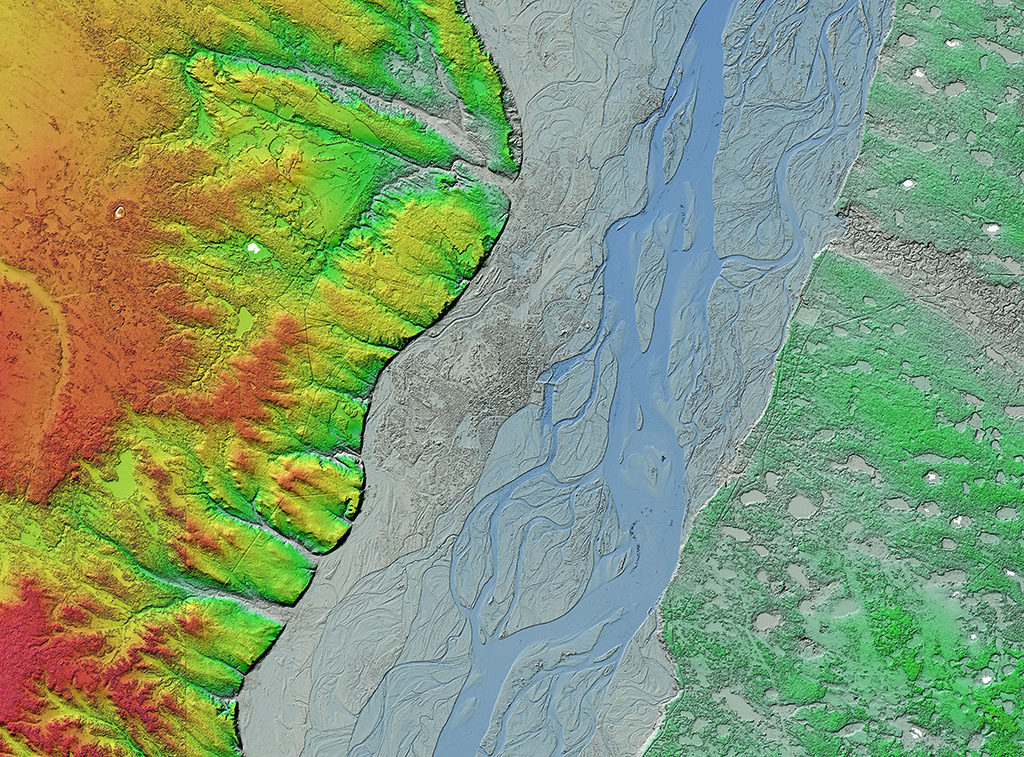
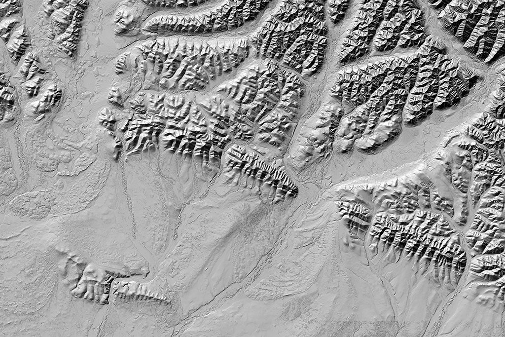
GALLERY
ABOUT ARCTICDEM
ArcticDEM is an NGA-NSF public-private initiative to produce a high-resolution, high quality, digital surface model (DSM) of the Arctic using optical stereo imagery, high-performance computing, and open source photogrammetry software.
Upon completion, ArcticDEM will encompass all land area north of 60° north latitude including all of Greenland, the State of Alaska, and the Kamchatka Peninsula of the Russian Federation. The project data releases began with Alaska on September 1, 2016, and will continue to other regions in the Arctic on a quarterly basis.
STAY UPDATED
Click here to subscribe to occasional ArcticDEM updates via email.
Read the original PGC Newsletter post here.