
First of yearly releases for 2022-2032
We’re excited to announce our first annual release of polar high resolution Digital Elevation Model (DEM) data strips. This release includes strip DEMs from the calendar year of 2022. Our DEM strip products are extracted from Maxar WorldView-1, WorldView-2 and WorldView-3 imagery and correspond to specific times and dates, being especially valuable for change detection and time series analyses.
In July 2023, an exception to the Electro-Optical Commercial Layer (EOCL) license contract allows for continued public access to historical and newly created REMA and ArcticDEM data, except Alaska.
See EOCL FAQ for more information
What’s New in the 2022 Annual Release?
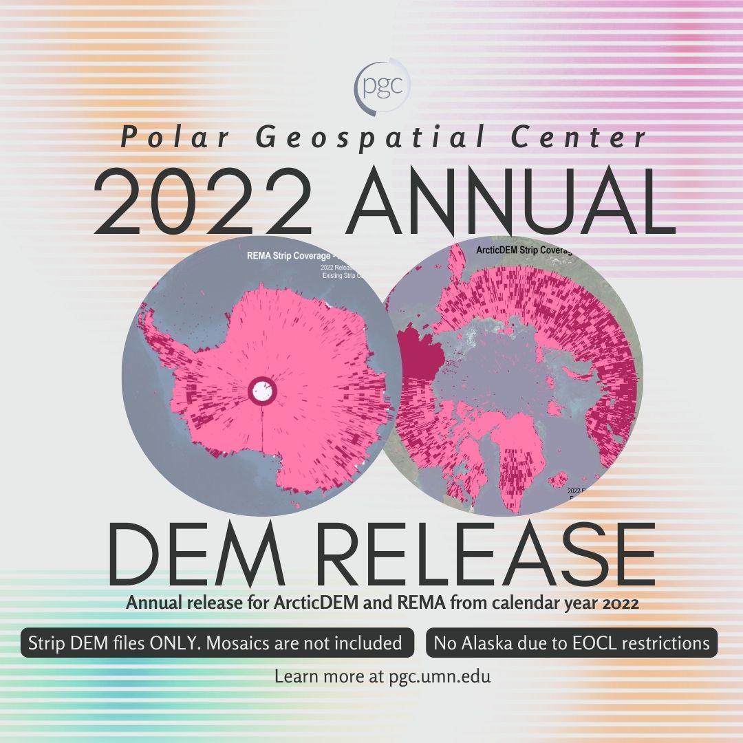
Overall
- Only DEM strip datasets are subject to annual releases (mosaic products are subject to available time and funding)
- Additional data, including all previous coverage for a total of over 10 years for both poles
- Maintaining current processing version and methodology: v s2s041 and data mask included, not applied with improved scene merging
(see DEM guide linked below for details)
REMA
- 29,204 strips
- Processing dates: July 2022 – December 2022
- Imagery dates: September 2009 – December 2022
ArcticDEM
- 29,577 strips
- Processing dates: May 2022 – Dec 2022
- Imagery dates: April 2013 – Nov 2022
- Alaska not publcily available due to EOCL restrictions
See PGC’s DEM Products Guide for more detailed information
About PGC DEM Products
The Polar Geospatial Center’s ArcticDEM and REMA elevation products are the result of an institutional collaboration between the U.S. National Geospatial-Intelligence Agency (NGA) and the National Science Foundation (NSF). The objective of these efforts are to automatically produce high-resolution, high-quality digital surface models (DSM) of polar and select mid-latitude regions using optical imagery, high-performance computing, and open source photogrammetry software. The result is a collection of time-dependent DSM strips and seamless terrain mosaics publicly available, with the exception to Alaska due to EOCL restrictions. The Alaska ArcticDEM products from 2022-present are restricted to U.S. federal employees, U.S. federal contractors, and U.S. government-funded researchers working in the Arctic.
Special Thanks
The PGC would like to thank all of our contributors and the entire polar science community for all the hard work and feedback used to build these incredible resources!
Help us spread the word about PGC’s DEMs by sharing our posts on Facebook, Twitter, Bluesky, Instagram and our PGC Community Slack.
Check out the original PGC Elevations Newsletter post here.