
Quantarctica Version 3 Released!
What is Quantarctica?
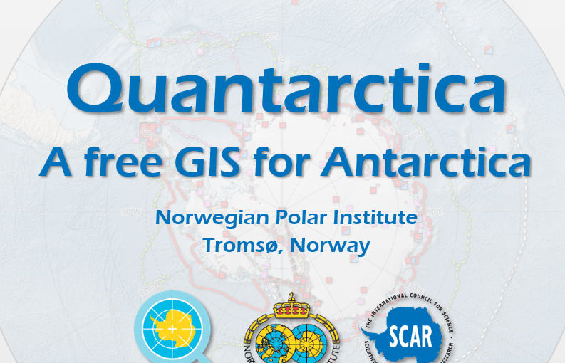
Quantarctica is a collection of Antarctic geographical datasets which works with the free, open-source software QGIS. It currently includes geography, glaciology and geophysics data, and will expand with contributions from the research community.
It is free for non-commercial use, such as research, education, and operation in Antarctica. Quantarctica was originally developed for in-house use at the Norwegian Polar Institute. Development on a public version started in 2012, and the first version was released in 2013. Version 2, released in 2014 is now superseded by the release of Version 3!
PGC’s Brad Herried contributes to Quantarctica as an Editorial Board member for the Basemap theme.
Read the data announcement (English version) from the Norwegian Polar Institute.
What’s New In Version 3?
Version 3 includes a larger geographic area, improved cartography, design, stability, and usability, and fewer use restrictions. Version 3 expands from 2 scientific disciplines (geophysics, glaciology) to ten, including:
- Atmospheric Science
- Biology
- Environmental Management
- Geology
- Ice Cores
- Oceanography
- Sea Ice
- Social Sciences
See the Quantarctica Data Catalog for a list and description of all geospatial layers available.
DOWNLOAD VERSION 3
View the Quantarctica download page at http://quantarctica.npolar.no/downloads.
PGC has agreed to mirror the package to speed up the download for North American users via FTP and HTTP. Use the URLs below for access (no authentication required). For downloading the entire package (many Gigabytes), we recommend using an FTP client.
- FTP: ftp.data.pgc.umn.edu/gis/packages/quantarctica
- HTTP: http://data.pgc.umn.edu/gis/packages/quantarctica
SPECIAL THANKS
The PGC would like to thank the entire Quantarctica team (including former PGC User Services staff member George Roth) for all the hard work and building an incredible resource for Antarctic researchers!