
Beyond the Poles
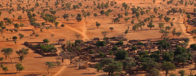
PGC aided NASA researchers in leveraging satellite imagery to produce a census of trees across the Sahara. The research was just published as the cover story for this month’s issue of Nature. PGC both supplied over 300,000 of the high-resolution satellite images used in the project and created the visualization tool that allows scientists and the public to explore the data. You can explore the data here:
We are thrilled to have shared our resources and expertise in efforts beyond the poles to better understand and monitor Earth’s systems.
Read about the project from the NASA press release and watch the following video for more information.
Stay connected with other cool PGC projects through our posts on Facebook, Twitter, and Instagram.