

Missed out on the newsletter via email? Sign up here!
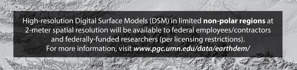
PGC EarthDEM Release COMING SOON!
PGC User Survey Results + Action Items

1. More frequent updates to PGC web services (Imagery Viewers)
2. Simplified instructions + explanations to PGC products and services
3. Increase User communications – specifically outlining licensing updates and what PGC products/services are available to which level* of User (*depends on funding source)
Planet Data Available to All US Federal Civilian Agencies
G-EGD Restoration Notification The NGA G-EGD Team recently announced their full restoration of G-EGD capability. All portals, system tools and utilities, and all individual accounts pre-March have now been restored. We appreciate PGC Users, partners, and the polar science community for relaying the dramatic impacts the loss of G-EGD had on your work. Any questions can be directed to NGAEGD1501Outreach@nga.mil. 2021 Antarctic Cable Workshop Wrap-Up |
|
We are seeking an innovative geospatial professional to join the User Services team. The person in this position will be responsible for managing science project support, coordinating data requests, and providing geospatial expertise for PGC core users. In addition to supervising undergraduate or graduate research assistants, the successful applicant will perform GIS and Remote Sensing analysis per project requests. This position will also play an active role in community outreach, data/software training workshops, and conference exhibitions/presentations.
Learn more about the position, salary, benefits, etc. and how to apply here:
|

 Earlier this year, the French space agency, CNES, released its entire SPOT archive up to 2015 for free to the public. The archive includes a series of 5 satellites from 1986 to 2015, showcasing Earth observations in increasing detail (from 20 m to 2.5 m resolution). Images are 60x60km and available in L1A level (radiometric equalization, no geometric correction). Data downloads are widely available including the
Check out the original PGC Newsletter post here.