More Polar DEMs Released
We’re so excited to announce our latest releases of high resolution elevation data for polar regions, adding four more years of data, which has been added to eight years from previous releases. The repeat observations spanning over 12 years in the Antarctic and 15 years in the Arctic, allow unprecedented change detection while our polished *mosaic models provide beautiful visualization and comprehensive coverage (*updated Arctic mosaics are not included in the October 2022 release but coming soon).
What are PGC’s DEM Products?
The Polar Geospatial Center’s ArcticDEM, REMA, and EarthDEM elevation products are the result of an institutional collaboration between the U.S. National Geospatial-Intelligence Agency (NGA) and the National Science Foundation (NSF). The objective of these efforts are to automatically produce high-resolution, high-quality digital surface models (DSM) of polar and select mid-latitude regions using optical imagery, high-performance computing, and open source photogrammetry software. The result is a collection of time-dependent DSM strips and seamless terrain mosaics. The polar projects, ArcticDEM and REMA, and select nonpolar regions can be used and distributed without restriction. The EarthDEM products are available to U.S. federal employees, U.S. federal contractors, and U.S. government-funded researchers.
What’s New in the October 2022 Release?
Overall
- Additional 4 years of data (2017-2021), including all previous coverage for a total of over 10 years for both poles
- Unmasked strip DEM data with auxiliary water and cloud masks for end user application
- All strip DEM data is reprocessed with a relaxed scene DEM coregistration error tolerance in order to reduce the number of small strip DEM segments in the dataset and to produce longer, more complete strip DEMs
- No registration to altimetry data to reduce inconsistencies (future registration is planned and translation vector information will be provided separately)
- Additional download options including: AWS STAC catalogs, extent indices as shp, gdb, gpkg, and tiled web mapping services
REMA
- Both DEM strip and mosaic datasets available
- New and improved mosaicking methodology
- Never before released coverage over the subantarctic islands, near South America
ArcticDEM
- ONLY DEM strip datasets available (mosaic release coming soon)
See PGC’s DEM Products Guide for more detailed information
SPECIAL THANKS
The PGC would like to thank all of our contributors and the entire polar science community for all the hard work and feedback used to build these incredible resources!
Read the University of Minnesota College of Science & Engineering press release.
Help us spread the word about PGC’s DEMs by sharing our posts on Facebook, Twitter, and Instagram.
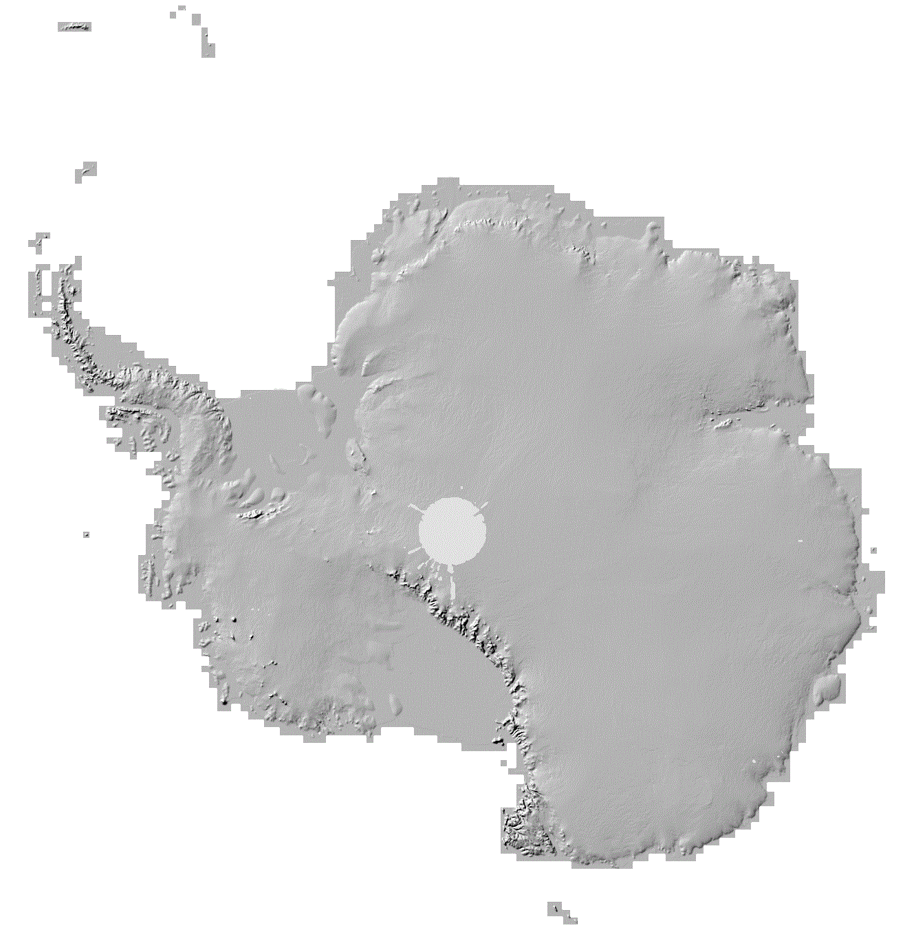
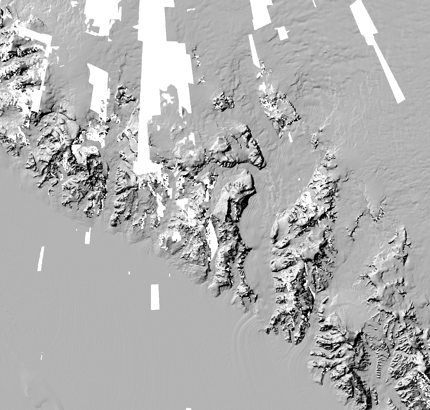
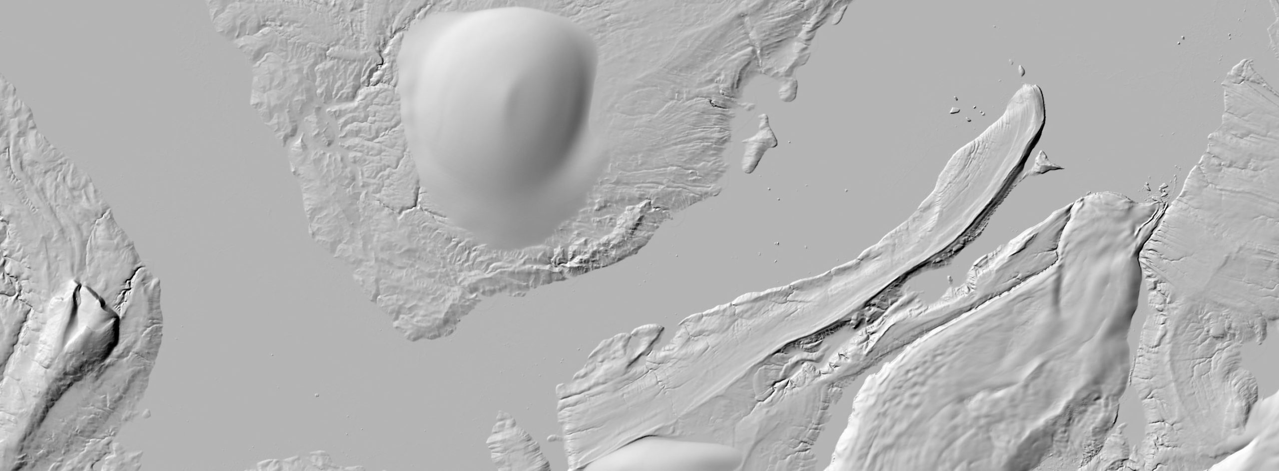
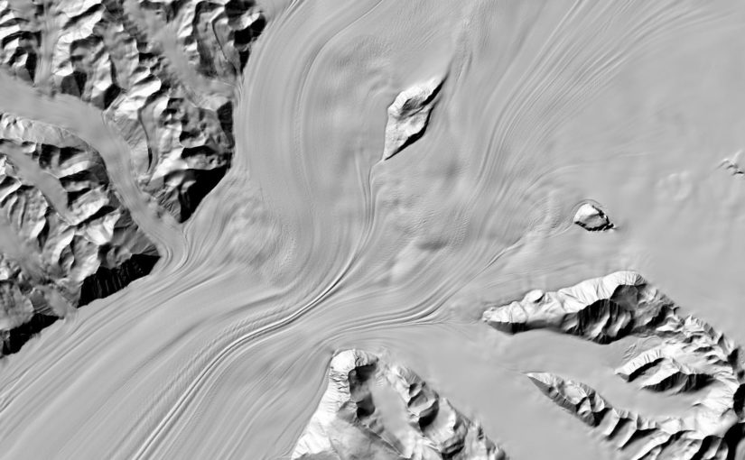
REMA hillshade of Central Transantarctic Mountains (top), REMA v2 and v1 comparisons (below) and ArcticDEM hillshade Severnaya Zemlya (bottom). DEMs derived from Maxar imagery.